04 Jun Life on the Road
Day 1
I got a late start out of Torrance on Tuesday but was determined to get on the road so I didn’t procrastinate another day. After 2 hours I was out by Gorman but still 2+ hours from Carrizo Plains where I wanted to camp. I looked through my maps and found a few spots around the Los Pinos recreation area that seemed like my best bet. I grabbed some dinner from the Mexican spot near Chevron and rode west out of town.
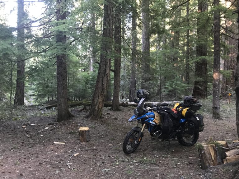
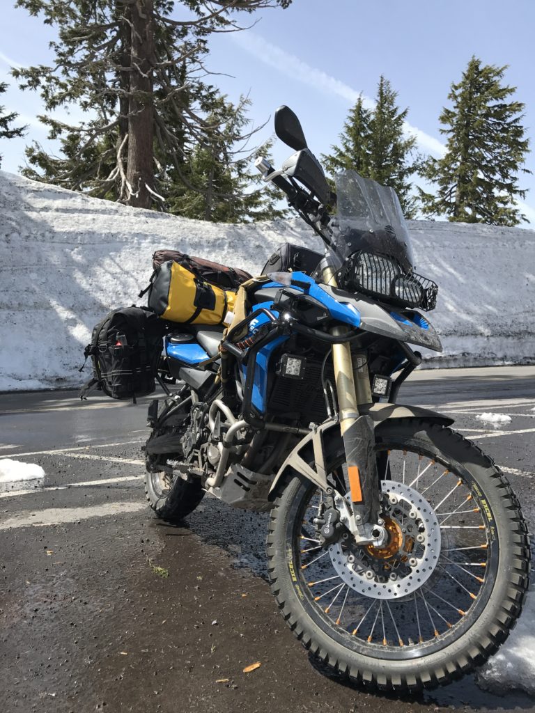
As I got closer to Mt Pinos a sign for a 4×4 camp caught my attention so I doubled back. I rode a few miles up Tecuya Mountain Rd and found an empty primitive campground.
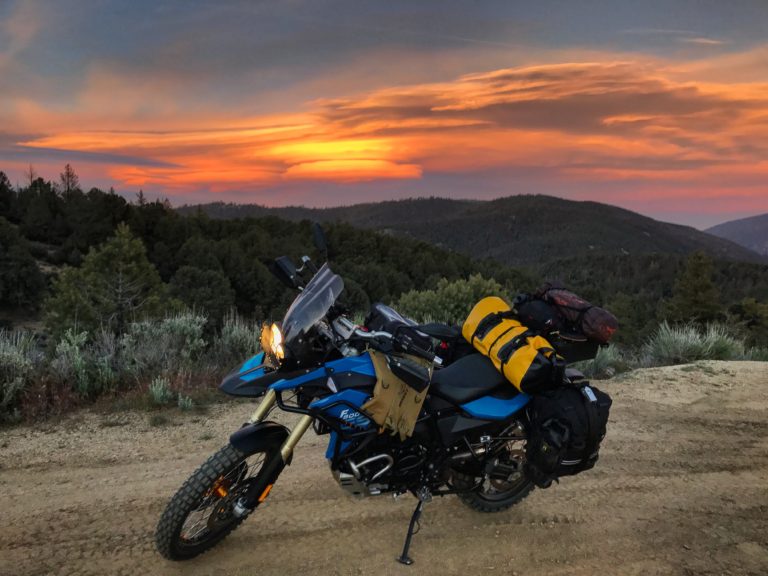
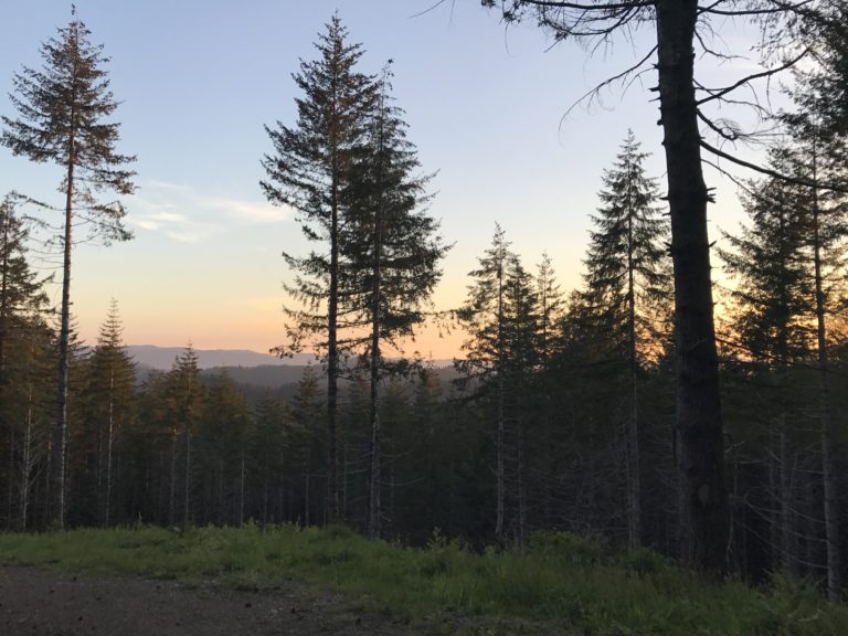
Perfect timing to squeeze in a photo of the sunset and set up camp before dark. The first night was cold and windy, and my nervous excitement didn’t let me get much sleep.
Day 2
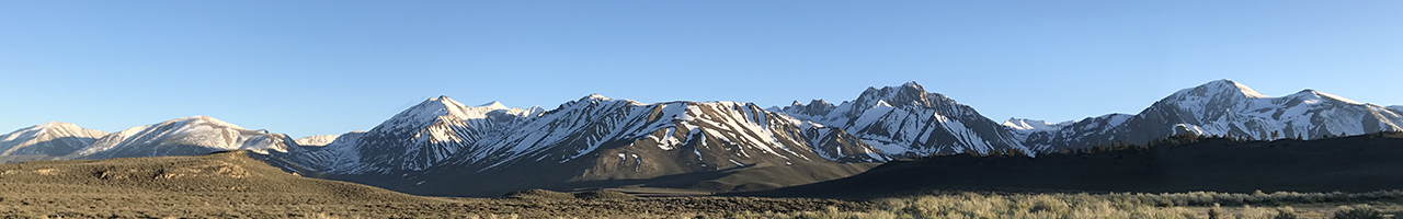
The next morning I got a slow start after enjoying the warm sun on the tent for a bit. I was on the road around noon, and wanted to catch up to my rough schedule through California. Looking at the map I decided to ride up the eastern Sierras. Coming towards Mojave on the 14 I ran into really dangerous winds, the same place I encountered them on the way to Death Valley in March. I was following a pickup with a large camper mounted in the bed, and I was almost certain it was going to blow over considering the suspension was entirely compressed on the right side and fully unweighted on the left. Somehow both the camper and I made it to Mojave. From there the wind mellowed out as I headed a bit east.
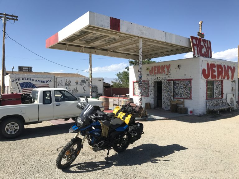
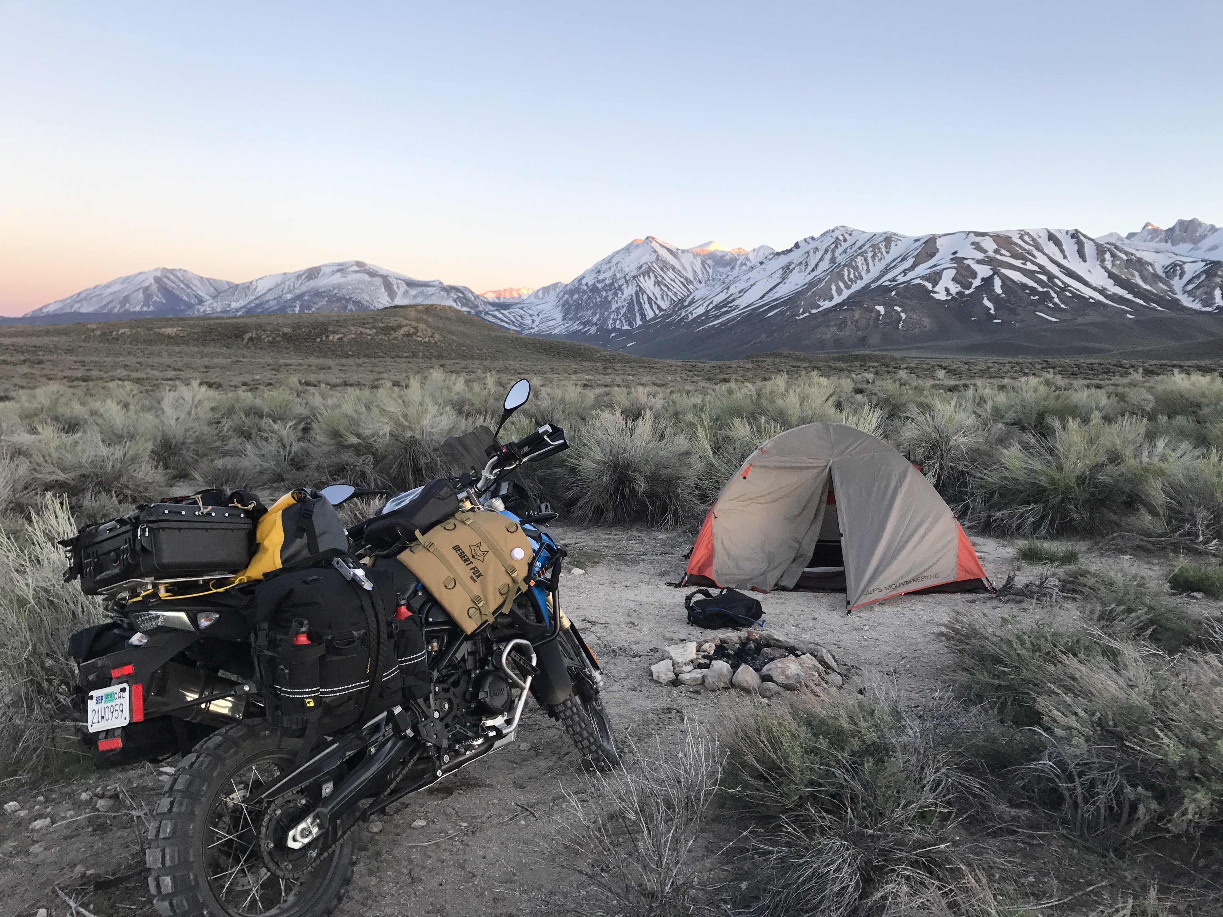
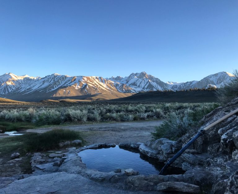
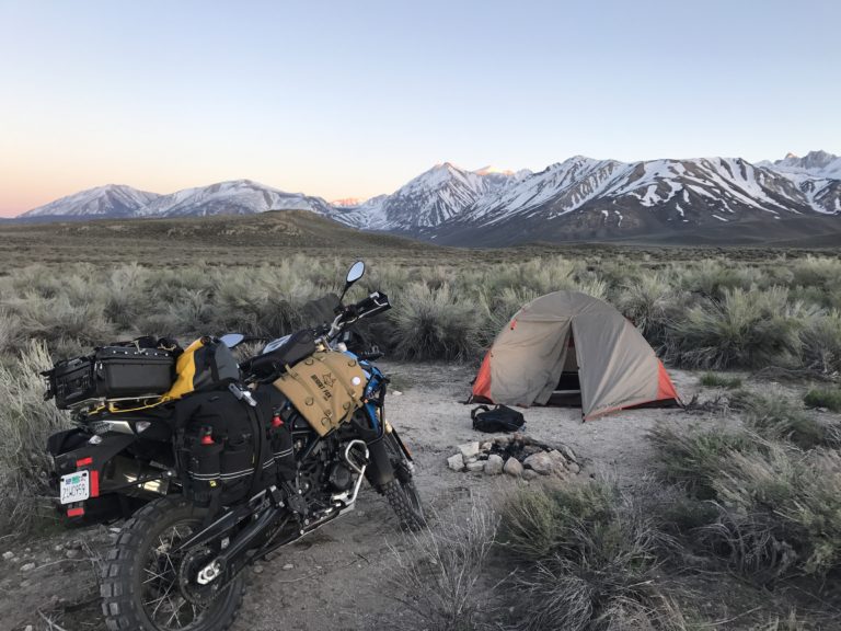
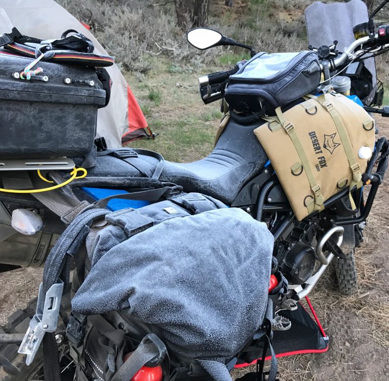
I cruised up the 395 and stopped at the iconic jerky joint for some $12/3oz jerky. The free sample verified it was delicious, but I could only really justify 1 pack to try at that price. Gassed up across the street and got back on the road. I eventually make it to Bishop and hit the BBQ spot across from Schatt’s Bakery. I wasn’t all that hungry but I wanted to opt for the easy dinner over a space meal at camp. The pulled pork had about a weeks recommended sodium intake, so I ate what I could and rode out towards some hot springs I had distant memories of visiting years ago. I found the Rock Tub site off Whitmore Tubs Rd nearly empty so I set up camp for the night and relaxed in the hot springs.
I retired to the tent when temperatures dropped, then spent a miserable night freezing in my 45*F comfort sleeping bag. Twice in the night I heard a large group of coyotes howling in the immediate vicinity; it was pretty cool but all I could think of was how reliable that vacuum seal was on my new beef jerky acquisition. After the sun had been up for an hour I found the courage to reach out of my mummy bag and grab my phone. My iPhone didn’t want to wake up but after some coercing it told me the temperature was 29*F. Shit! No wonder I’m so cold. I might have been naive in my planning but I didn’t expect anything like that this time of year in CA. I looked up average spring and summer temps for the regions I expected to be more frigid, like Canada and Alaska, but didn’t think to double check places I’ve been like California off the 395.
Day 3
I made a few cups of coffee and enjoyed the view since I was awake so early.
The campground was empty except for an older couple in a camper van. At one point the guy walked over to chat and I told him about my trip. Turns out he is from Patagonia and has been all over Central and South America, what a small world. I keep running into people with valuable advice for my travels.
Soon it was time to continue north. I cut through the corner of Nevada and rode the 88 and 89 to get into South Lake Tahoe.
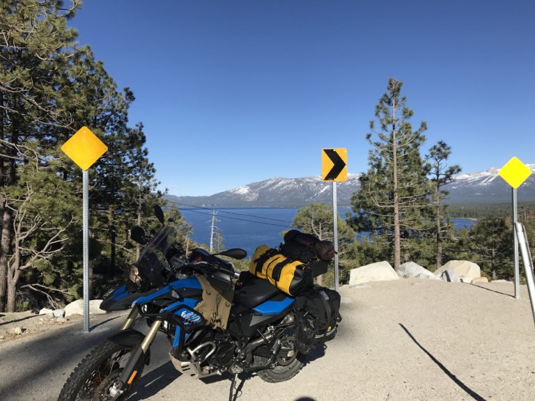
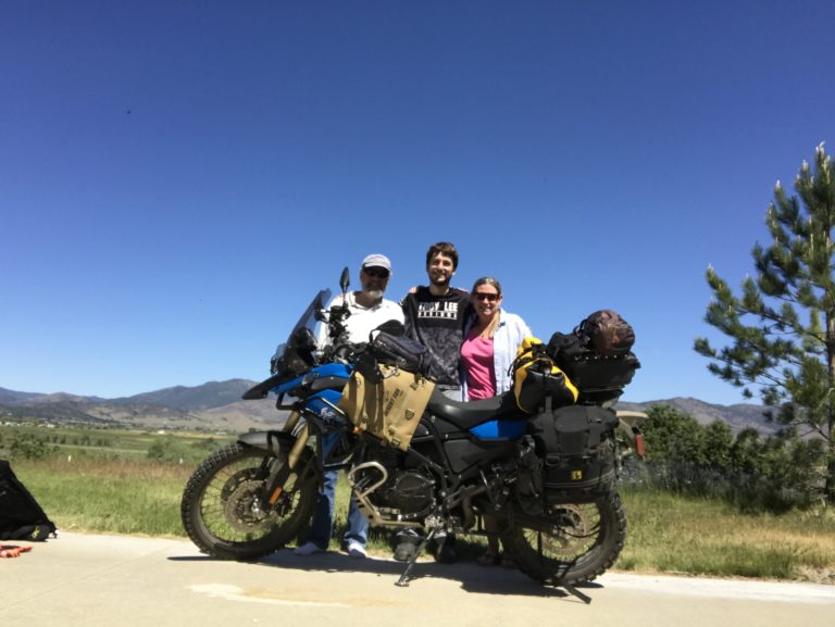
I stopped by and visited an old friend, grabbing some lunch and catching up before continuing late in the day in search of a campsite. I figured I had to get as far from Tahoe as possible to get away from the cold. I made it past Truckee then explored a maze of dirt roads around Boca Reservoir before finding a nice spot right at sunset.
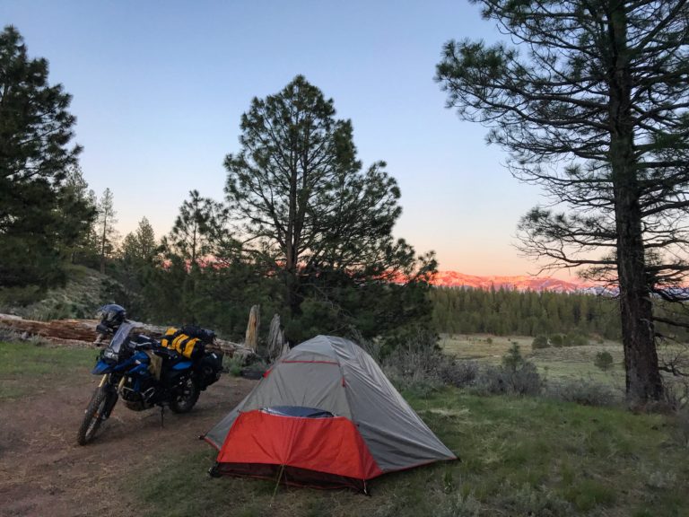
I set up on top of a little ridge overlooking a small meadow and went to bed pretty early since fires were prohibited. That was another freezing night but I wore all 4 of my warm layers in the sleeping bag and was actually quite comfortable. I got up early and found my bike and tent dusted in a layer of frost.
After packing up I headed north along the 89 and 70 following rivers through Plumas and Lassen National Forests. Unfortunately Lassen National Park was entirely buried in snow except for the visitor center, so I stopped through Old Station to gas up and determine where I wanted to stay that night. While checking the maps a few US Forest Service fire fighters stopped by to ask about my bike and I asked them about camping recommendations. They all agreed Klamath River area was my best bet so I headed west towards the 5 and up past Mount Shasta. I stopped in Yreka to get some dinner and ended up at a Mexican restaurant. While there a guy named Dave asked about my destination and after checking with his wife, he offered me a place to crash for the night. I took him up on his offer and followed him to his ranch near Montague.

Dave and Jill were very gracious hosts and welcomed me into their home. We chatted late into the night and the next morning they wished me luck on my way out.
Day 4
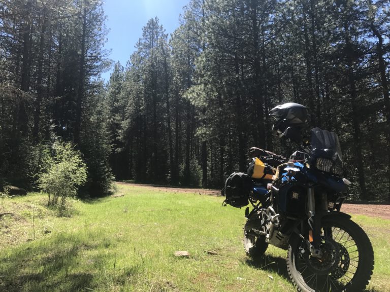
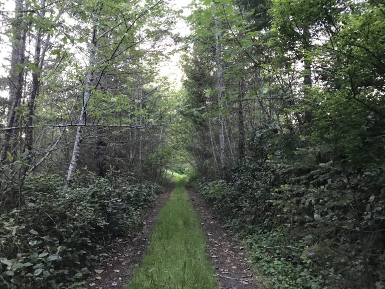
I rode a few minutes up the 5 into Oregon and exited onto the Old Highway 99 S to get to Green Springs Highway 66 where my GPS tracks for the Oregon Backcountry Route started. Oregon immediately delivered the goods with awesome twisty pavement and plentiful dirt roads. I quickly got to what would perhaps be the gnarliest part of my OBDR ride, and later realized the rider whose tracks I was following had opted to skip this first section entirely. I got onto a chunky, muddy road riddled with ruts climbing up over the mountain between Camp Latgawa and Lake of the Woods Hwy 140. This was the most technical part I would encounter for the first few days, so it was a fun intro to Oregon.
I continued on riding a variety of fire roads through Butte Falls and over to Prospect for gas.
By this point I was out of cell range for the foreseeable future. After gassing up I rode over to Union Creek to find some food. My tracks routed me onto a power line road with awesome flow for that section, definitely recommend that part. I was initially headed toward Beckie’s Cafe, but pulled in and noticed a chuck wagon BBQ joint and was sold.
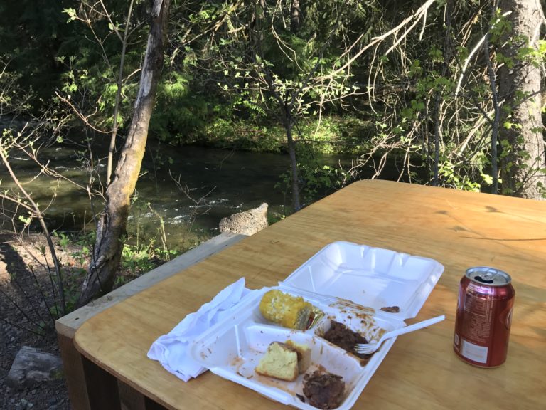
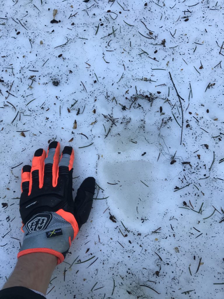
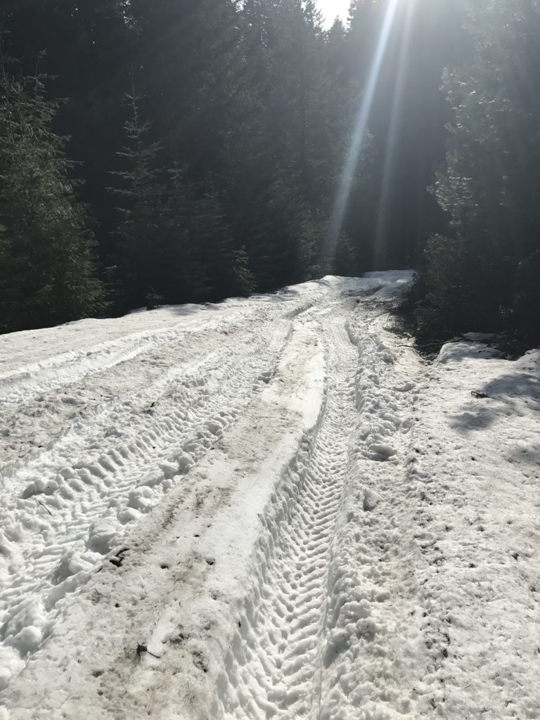
I ate some pulled pork by the creek then continued along the OBDR. I got deeper into the forests off Crater Lake Highway 62 before I started running into some tricky snow. At one point I hopped off to assess the snowpack on the road ahead and nearly stepped right onto a set of bear tracks.
So I turned around there and headed back towards Castle Creek where I found a great campsite. I hung out there for the night, pretty stoked after a successful day of exploring southern Oregon backcountry.
Day 5
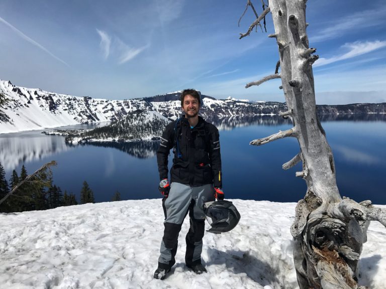
In the morning I cruised off to Crater Lake which still looks like a winter wonderland.
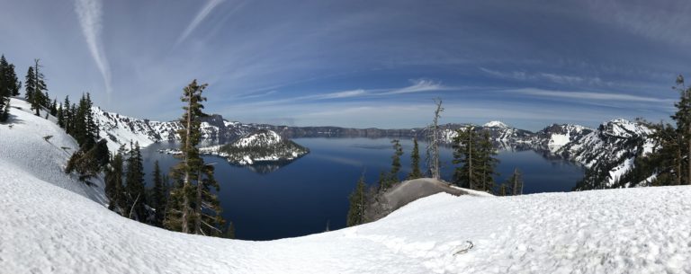
I looked at the maps the night before, intending to detour around the snowed out sections of the trail by hitting Crater Lake and continuing north. However, I got into the park and realized I had to return the same way I came since Hwy 62 was the only road open.
I got back onto West Diamond Lake Highway and rode up to Diamond Lake, skipping trail sections through snow play areas that were still suitable for snowmobiles. A few miles down the Cascade Lakes Highway I ran into hundreds of yards of deep snow and had to detour to Lemolo Lake.
At this point I realized there wasn’t another way around without hours of highway detouring in the wrong direction, and I had a feeling I would continue to encounter snow the whole way along the OBDR. I decided to shoot west toward the coast, but I needed to find a place to camp for the night. I explored a dirt road that went towards Lemolo Falls, but the road quickly turned into a muddy snowy mess. I also stopped by a few resort style campgrounds around the lake but they were all depressing and expensive. I headed out to the 138 and found Clearwater Falls campground which seemed to be free during pre-season, perfect!
I set up and met some other campers there who were primarily siblings from the Florida and Missouri areas I think they said? It was cool hanging out with some like minded people after all the rough camping I’ve been doing. They invited me to join in their cast iron skillet chicken and dumplings cooked by the campfire, and I offered to share my freeze dried chicken and dumplings if they wanted to compare. They declined and I opted for the absolutely delicious version Josiah cooked up. Later that night we tried to do some low light slow shutter shots with my new GoPro down by the falls but couldn’t quite figure it out.
Day 6
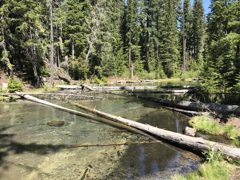
The next morning they convinced me it was worth a dip in the freezing water so I gave it a whirl. I also busted out my Sawyer water filter I’ve owned for a few years but never used.
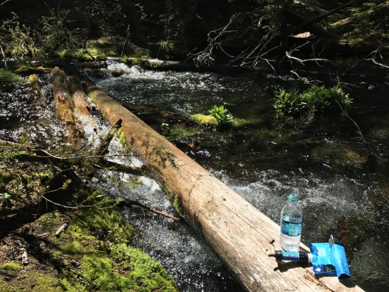
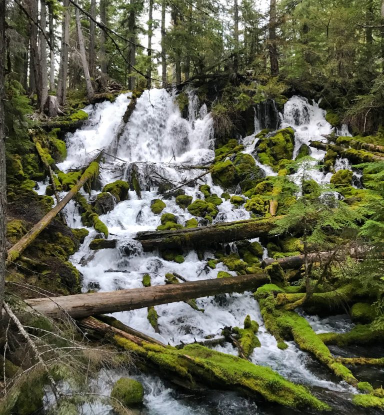
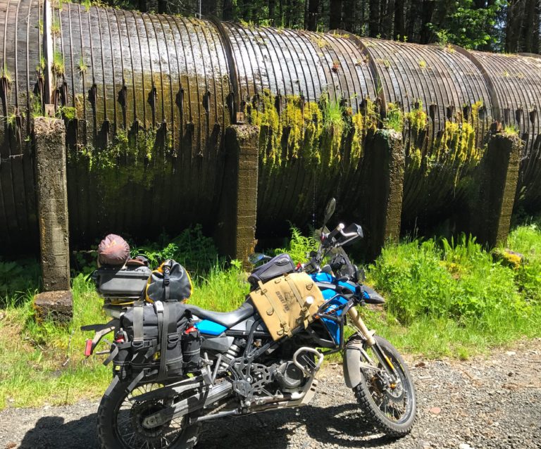
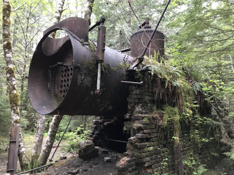
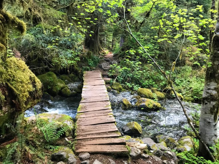
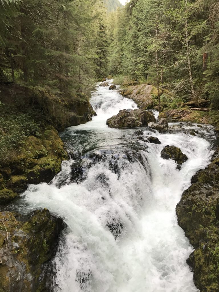
I filled my Camelbak from the fresh volcanic filtered water, then packed up and rode west down the North Umpqua Highway 138. This was a great twisty road that followed the Umpqua River North Fork with lots of waterfalls and campgrounds to explore along the way. I stopped by the Toketee Falls and checked out this 12 foot diameter wooden water pipe built in 1949. It supplies water to 3 turbine generators, producing electricity for 22,500 homes. Pretty awesome!
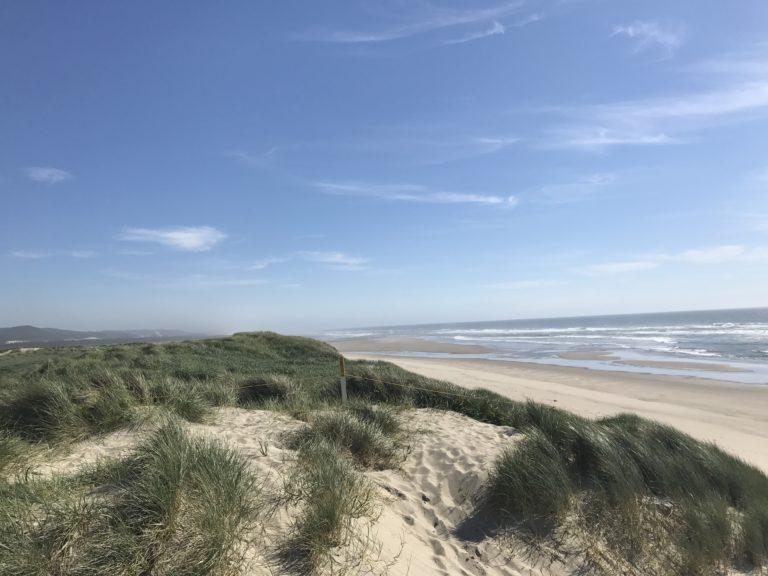
I wish I had gone a bit slower through the Hwy 138 area but I was eager to make it to the coast and the empty road beckoned. I passed through Roseburg and got out to Coons Bay before heading up the sandy Oregon coast, meandering between forests, lakes, and dunes.
I stopped and looked for cool spots to camp but wasn’t impressed with the RV parking lots asking $20+. I’d prefer to be out in nature for free so I have a hard time compromising and paying that much. It was around this point my low beam headlight burned out. I kept on riding up the coast, and stopped by Yachats Brewing based on my friends suggestion.
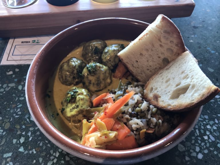
I had a little flight and some tasty lamb kofta meatballs. It’s hard to eat healthy on the road so you gotta take advantage when you find places like this. At this point I needed to find someplace to set up for the night, so I rode out East Alsea Highway 34 to get away from the cold coast. I checked a few locations by the river but wasn’t happy with how wet they were. I rode up into the hills eventually winding up on Cannibal Mountain, and tried to find a spot to no avail. I came across a few damp spots in tall grass that looked like great spots to pick up some ticks, but kept on going.
I walked down this one thickly covered side track to investigate and got a really creepy vibe when the trail opened up into this overgrown clearing with a single camping chair sitting ominously in the center.
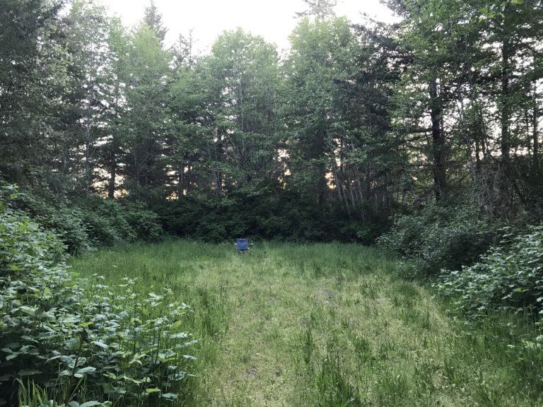
It might have been paranoia but I hightailed it outa there. I rode up the rest of the mountain and got some beautiful sunset views but didn’t find anywhere I wanted to stay for the night.
I ended up heading farther east to get up to Corvallis area to stay the night at my friends house. I planned to meet up with my buddy Matt the next day but was happy to crash on a couch instead of trying to camp somewhere dark and wet.
Day 7
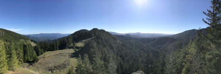
The next day we went shooting out by Mary’s Peak with a nice variety of firearms, then stopped by Block 15 Brewing for food and refreshments. Along the way I picked up a new headlight bulb.
Day 8
Wednesday we did a 6 or 7 mile hike out at Opal Creek and headed into Portland for some late night grub and local brews.
Linda Snyder
Posted at 21:10h, 04 JuneIt is truly the adventure of a lifetime! Keep listening to your gut instincts and avoid those isolated camp chairs!